Binghamton
West Side
Residential streets, Recreation Park, and routes across the Chenango.
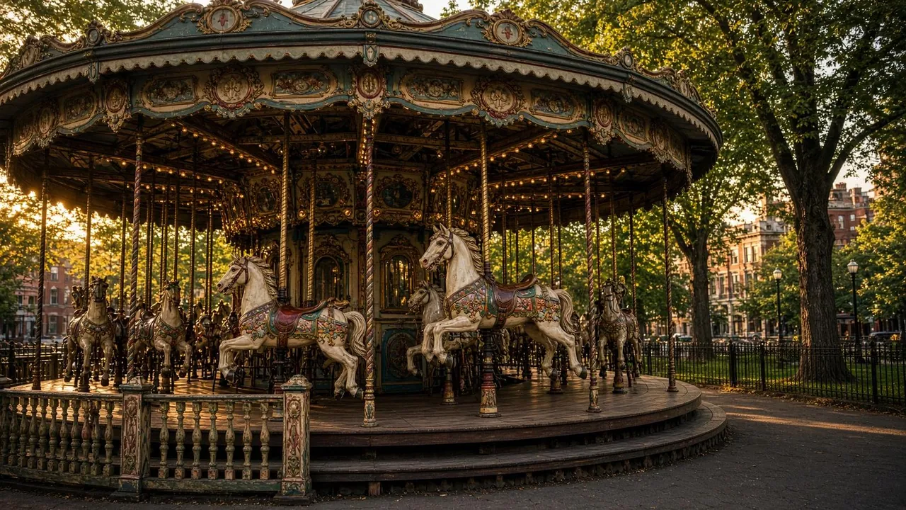
Recreation Park is a useful starting point for orienting a West Side visit. The neighborhood lies west of the Chenango River; Main Street, residential blocks and routes toward downtown offer different daily trips. Plan around the exact address and the bridge, bus stop or parking space you would use. A neighborhood overview does not establish the condition of any apartment or advertise owned inventory here.
Recreation Park and street comparison
- Locate Recreation Park and the apartment block on your map; confirm the current public entrance and facilities with city resources.
- Compare the route toward Main Street with the route across the Chenango to your specific destination.
- Check crossings, sidewalks and the walk from the stop or parking space rather than measuring only map distance.
- Visit the block at your usual departure and return times.
- Record utility, laundry and parking responsibilities for each address.
Related local guides
- Area context
- Residential streets and Recreation Park
- Commute
- Compare bus routes and bridge crossings
Official local resources
Editorial update by Binghamton Living editorial ·
Editorial revision. Linked official resources were not checked for current schedules, access, prices or policies; confirm those details with the responsible organization.
Questions about West Side
Where can I start exploring the West Side?
Recreation Park is a useful West Side landmark. Plan a park visit using city information and check separately whether seasonal carousel facilities are operating. Compare the route from the particular street where you are staying.
Official resources
How should I compare West Side addresses?
Compare the route across the Chenango to your destination, bus stops, groceries, laundry, and parking for each address. Inspect the unit and entrance, and use FEMA for mapped flood information. The neighborhood name does not establish a commute or property condition.
Official resources